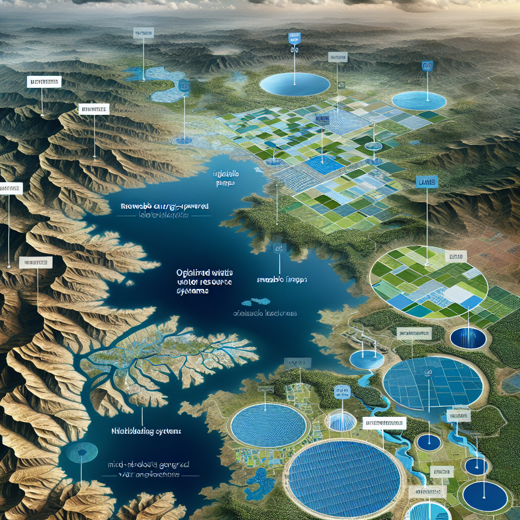
OpenET: Optimizing Water Resources in the Western Region
OpenET: Optimizing Water Resources in the Western Region

Introduction to OpenET
OpenET is a groundbreaking initiative aimed at enhancing water resource management in the Western United States. By leveraging satellite data and advanced computing, OpenET provides accurate and timely information on water usage, helping stakeholders make informed decisions.
Key Features of OpenET
- Satellite Data Utilization: OpenET uses data from multiple satellites to measure evapotranspiration, a critical component in understanding water consumption.
- Real-Time Insights: The platform offers near real-time data, enabling users to monitor water usage and adjust practices promptly.
- User-Friendly Interface: Designed for accessibility, OpenET caters to a wide range of users, from farmers to policymakers.
Benefits of OpenET
- Improved Water Management: By providing precise data, OpenET aids in optimizing irrigation practices, reducing waste, and conserving water resources.
- Enhanced Decision-Making: Stakeholders can make data-driven decisions, leading to more sustainable water management strategies.
- Environmental Impact: Efficient water use contributes to the preservation of ecosystems and supports biodiversity in the region.
Challenges and Future Prospects
While OpenET presents numerous advantages, challenges such as data integration and user adoption remain. However, ongoing developments and collaborations promise to expand its capabilities and reach.
Conclusion
OpenET represents a significant advancement in water resource management, offering a powerful tool for optimizing water use in the Western United States. By providing accurate, real-time data, it empowers stakeholders to make informed decisions, ultimately contributing to sustainable water management and environmental conservation.


